Go see 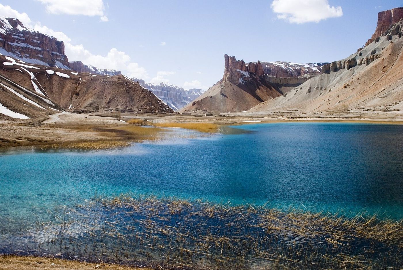 Afghanistan
A free guide to where to go, how to get there, what it costs and when. In English, Dari and Pashto, and it works with no signal.
Find a place for your monthWhen are you going?
Most mountain roads close in winter. Lowland cities stay open; the guide shows which passes are shut and when each page was last checked.
Every place, four answers
34 provinces
one guide
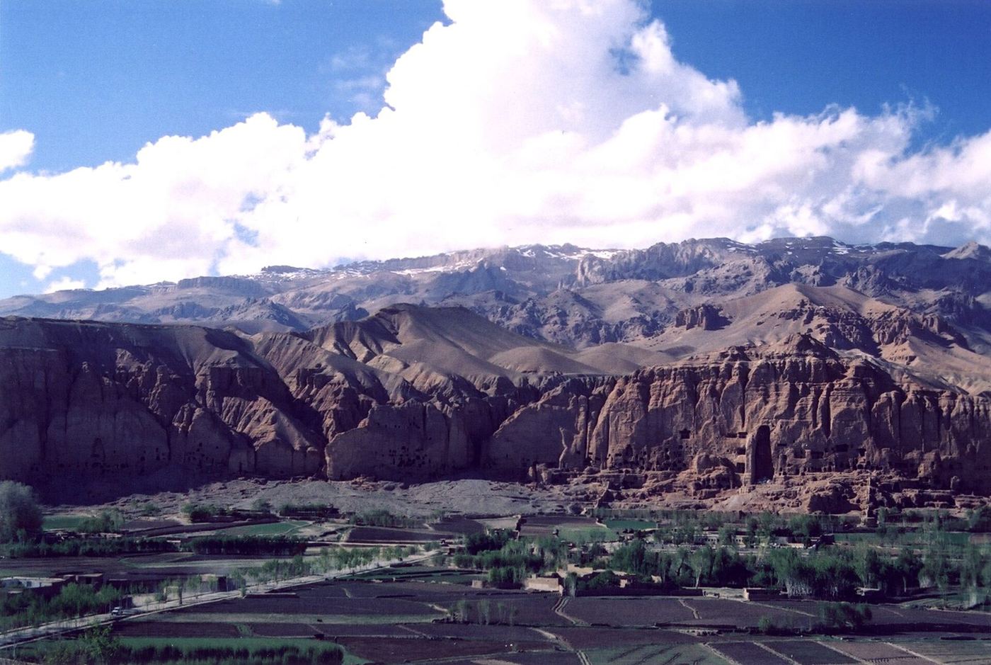
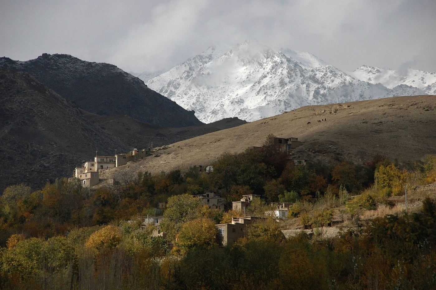
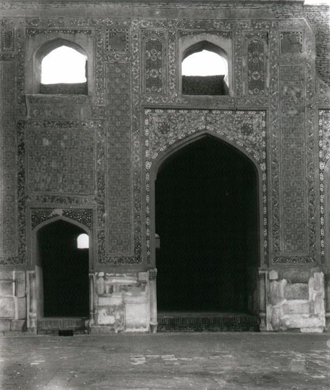
Bamyan, Istalif and Herat. Version one starts with thirty places and grows every season.
Works with no signal
Save a place once and read it on the road, offline.
Reads in English, Dari or Pashto
Switch at any time. Afghans and visitors read the same page.
Shows the day each page was checked
Roads, permits and rules change. Old pages are flagged.
Makes a card to share
Sized for WhatsApp, Instagram and Telegram, with the link inside.
Before you go
 Gardesh will never tell you a place is safe. It tells you how to get there, what it costs and when to go, and every page shows the day it was last checked. Before you travel, read your own government’s travel advice and the current local rules, and go with a licensed local guide.
Gardesh is one of the Watan apps. It is free for everyone inside Afghanistan, and it is built first for Afghans exploring their own country.
See it
for yourself
The full guide is being built now: thirty places first, in three languages. Start by choosing your month.
Choose your month